This is an old version of LandSerf. For the latest release please visit www.landserf.org
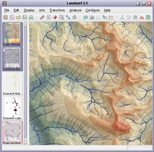
LandSerf 2.0
Features:
- Handles multiple surface models - raster digital elevation models (DEMs), vector Triangulated Irregular Networks (TINs), contours and metric surface networks (MSNs).
- Interactive 3D viewing and 'flythrough' of surfaces on platforms that support OpenGL.
- A range of powerful and interactive visualisation techniques including lighting/shade models, multiple image blending and dynamic graphical query.
- Raster and vector transformation including image rectification and map projection.
- Multi-scale surface processing based on quadratic regression.
- Fractal and polynomial surface generation for modelling and simulation.
- Multi-scale parameter and feature extraction (slope, aspect, curvature etc.).
- Import and export of common raster and vector formats.
Download
To download a free copy of LandSerf 2, please complete the download form.
Documentation
- User's Guide - Description of all LandSerf's features with examples of their use.
- Tutorial - Step by step tutorial on how to use LandSerf.
- 'How to' guides - Instructions on undertaking specific tasks with LandSerf.
- Programming - How to write your own Java programs using the LandSerf classes. (online)
- Theory - Detail on some of the theoretical techniques implemented by LandSerf.
- 'Addons' - Extra utilities that can be used with landserf. (online)
- Third party software - Details of third party software and code and used by LandSerf.