Flythrough over Hawaii
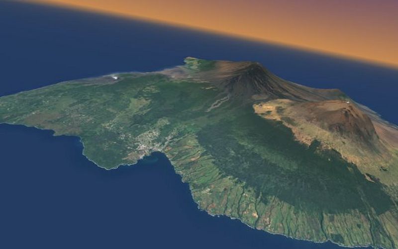
A still from an animated flythrough over the main island,
Hawaii. The elevation data and draped aerial photography were provided by the Virtual
Terrain Project. The route and animation was generated using LandSerf's 3d viewer, then converted into RealMedia format for
streaming over the web.